
Building on a decade of new research data and tools, and a growing momentum to address climate change and to protect and restore resilient and dynamic ecosystems, the WRP has embarked on a process to update the Regional Strategy. The updated Regional Strategy will be a scientifically-based management framework developed through a collaborative approach. It will contain quantifiable recovery objectives developed by synthesizing data on past, present and future conditions. The updated Regional Strategy will also contain a decision support tool to aid in prioritizing preservation and restoration activities, which will assist the WRP in developing the Work Plan.
This guidance document was developed through a NOAA Ecological Effects of Sea Level Rise (EESLR) grant program called “Marshes on the Margins.” Three tasks were identified: (1) to provide criteria to map wetland-upland transition zones; (2) to map transition zones in the Southern California Bight; and, (3) to provide guidance on their management. This guidance document expands upon the recommendations in the WRP’s Regional Strategy (2018).
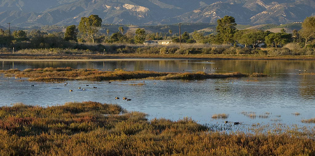
Assessment of Sea-Level Rise Vulnerability for Southern California Coastal Estuaries
A recent study by Doughty et al. 2016 sought to improve regional predictions of the impacts of sea-level rise (SLR) to coastal wetlands in Southern California. The authors developed a rule-based model that incorporated topography, sediment accretion rates, tidal inlet dynamics and plant response to future sea-level rise scenarios. The model was applied to 100 wetlands along the Southern California coast. Study findings predict that if wetlands are not able to migrate upland, the region will lose up to 12% of marsh habitat with a 24-inch SLR (by 2050) and a 48% loss of marsh habitat with a 63-inch SLR (by 2100). View webinar.
Temporal Investigations of Marsh Ecosystems (TIME)
In response to expressed needs of the Southern California Wetlands Recovery Project (WRP) and the Tijuana River Valley Recovery Team (TRVRT), the Tijuana River National Estuarine Research Reserve (TRNERR) is leading a team to synthesize ecosystem science into a decision-making framework to help guide coastal wetland recovery and management in Southern California. This effort is known as the Temporal Investigations of Marsh Ecosystems (TIME) project.
The goal of the TIME project is to create a robust set of tools to help resource managers use information about the past, present, and future of wetland ecosystems to proactively steer restoration and management goals. Information on the past will be derived from studies documenting the historical distribution and ecological functions of wetlands. The present conditions will be understood by assessing and mapping the extent and condition of our current wetland ecosystems. And finally, future conditions will be addressed by projecting the future ecological and social impacts of climate change. The TIME project aims to bring all of these data sources together in an effort to better understand how to conserve and restore wetlands in Southern California.
The TIME project team consists of the California State Coastal Conservancy, San Francisco Estuary Institute, Southern California Coastal Water Research Project, Sacramento State University Center for Collaborative Policy, and TRNERR with input and guidance from the primary users, the WRP and TRVRT.
For questions regarding the TIME project contact Kristen Goodrich at TRNERR by email at kgoodrich(at)trnerr.org.
Southern California Coastal Wetland Change Analysis
Knowledge of the changes in the extent and distribution of coastal wetlands should be an important component of restoration and conservation planning. Along with other information, this knowledge can help inform decisions about the composition and structure of restoration projects at both the site-specific and regional scales. The goal of the Coastal Wetland Change Analysis is to provide an initial estimate of change in extent and composition of Southern California’s coastal wetlands between ca. 1850 and 2005. The analysis is based on a comparison of wetlands mapped on the historical U.S. Coast and Geodetic Survey topographic maps (t-sheets) to the contemporary U.S. Fish and Wildlife Service National Wetlands Inventory (NWI) maps. The Science Advisory Panel initiated this project in 2012.
Previous work in southern California has provided a foundation for long-term change analysis by acquiring, digitizing, and analyzing coastal wetlands based on the U.S. Coast and Geodetic Survey topographic maps (T-sheets). The products of this past effort provide a “snapshot” of historical coastal wetlands circa 1850-1880. This project built upon past efforts by augmenting historical analysis and comparing historical and contemporary coastal wetland mapping.
The final report can be accessed here.
For questions regarding the Change Analysis, contact Eric Stein at SCCWRP by email at erics(at)sccwrp.org.
Northern San Diego County Lagoons – Historical Ecology Investigation
The Northern San Diego County Lagoons Historical Ecology Investigation draws on hundreds of historical documents to analyze and reconstruct historical landscape conditions for six northern San Diego County estuaries prior to the major modifications of the late 19th and 20th centuries. The six estuaries – Buena Vista Lagoon, Agua Hedionda Lagoon, Batiquitos Lagoon, San Elijo Lagoon, San Dieguito Lagoon, and Los Peñasquitos Lagoon – are situated at the mouths of broad river valleys along 18 miles of coastline between Oceanside and Torrey Pines.
Today, these estuaries are the focus of numerous restoration and management efforts that aim to enhance lagoon function by reducing flooding, increasing tidal circulation, and increasing the acreage and quality of wildlife habitat, among many other objectives. The findings from this study are intended to support these efforts by providing information that, in combination with contemporary research and future projections, will support and guide restoration design, planning, and management of these and other coastal wetland systems in northern San Diego County.
The final report can be accessed here.
For questions, contact Robin Grossinger at SFEI by email at robin(at)sfei.org.
Marsh Adaptation Planning Tool
The Marsh Adaptation Planning Tool (MAPT) was created to provide users free open-access to high-quality geospatial datasets, maps, and information to inform science-based discussions.
On MAPT you can:
- Learn more about the goals of the Southern California Wetland Recovery Project (WRP).
- Access high-quality geospatial datasets, maps, and information related to the acquisition and restoration of coastal wetlands, rivers, and streams.
- Apply for the WRP Work Plan using the Application Tool.
- Create your own workspace where you can make and save maps.