Location: San Diego County
Project Type: Restoration Planning
Status: Completed
Habitat Type: tidal wetlands
Date Completed: 2005
Cost: $328,000
Area Affected: 1392 acres
Project Footprint: 35.9 stream miles
Assembly District: 76
Senate District: 36
Congressional District: 49
Project Lead/Grantee:
San Elijo Lagoon Conservancy (Doug Gibson, 760-944-3944)
 For more information, visit scwrp.org
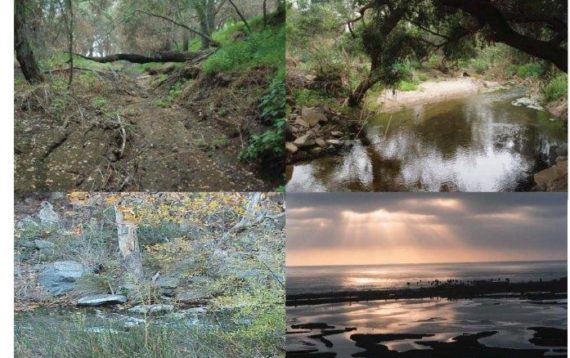
This project prepared an integrated Watershed Restoration Action Strategy for overall management and restoration of the Escondido Creek watershed, the drainage for San Elijo Lagoon.
The Escondido Creek Watershed covers approximately 54,112 acres in North County San Diego. While the watershed is rapidly being developed, large areas of vacant land and high quality habitat still remain within its boundaries. This report describes in detail the physical characteristics of the Escondido Creek watershed, its biological resources, and the influences of the human population on these resources.
A two-stage analytical approach was used to prioritize stream reaches within the watershed for potential riparian restoration along the Escondido Creek. Based on this prioritization and the needs of the watershed as identified by various stakeholders, a list of projects was created for the enhancement and restoration of the Escondido Creek Watershed. The projects have been separated into the following categories:
-Watershed Assessment and Monitoring Projects – for projects that are long-term monitoring projects that will require on-going funding; Programmatic Projects – for projects that address specific issues throughout the watershed; and
-Site Specific Projects – for projects that can stand alone as individual endeavors and have definitive begin- and end-dates.
The Escondido Creek Watershed Restoration Action Strategy is meant to be a “living document.” The list of projects included herein is by no means an exhaustive list. As listed projects are implemented, new opportunities will surface. The purpose of this document is to provide background information about the Escondido Creek Watershed for use in watershed analyses, to identify gaps in information, and to use this information to prioritize potential restoration, enhancement and acquisition of natural areas.

